Written by Donovan December 21, 2018
Category: Guam, North America
Tags: Americas, backpack, backpacking, food, go local, Guam, guam beaches, guam on a budget, guam wedding, instadaily, instatravel, lonelyplanet, Micronesia, natgeo, pacific island, passport, passporttravel, responsibletravels, travelblogger, travelgram, travelpic, travels, wanderlust, what to see in guam
Comments

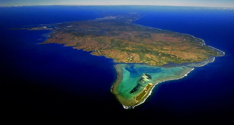
If you think that Guam is just about relaxing by the beach at Tumon Bay or outlet shopping, then you are wrong. There is more than meets the eye here, in terms of the nature and some secluded beaches where you would find you’re the only one swimming in the area. This place is known as Tanguisson beach. Even though the beach is near a restricted area, it is still open to the public. One of my favourite places to swim on this trip is this infinity pool which extends out to the ocean as shown in the picture below. The waters are so beautifully clear. Due to the long strip of rocks, the waves in this natural pool are gentle and there are steps leading from the sidewalk to this amazing swimming pool that we shared with only 3 other people on that day.

This beach involves a bit of walking but the rock formations, the sparkling clear water and the “get away from it all” atmosphere make it worth the effort. Enjoy the sandy beach, search for blue starfish in the clear waters or just stroll along the sandy beach.


Some parts of the beach are quite rocky, so please be in proper footwear when you are strolling along the coast. Due to the remoteness of Tanguisson beach, it is only accessible by car. There is a parking area and to get to the natural swimming pool, you have to walk along the concrete pathway in the direction of the power station.
Two Lover’s Point is called by an island myth about two lovers. Besides the story, you get an amazing view over the coastal area. If you don’t want to pay for that don’t worry, there are a lot of viewpoints on the coastal road which are as stunning as this one! It costs $3 for the entrance, but since it was raining and we were sure that the view would not be postcard perfect, we felt there was no need to go to the viewing gallery.
What is the story behind this famous tourist attraction? Read on to find out more:
Once long ago, in the time when Spain ruled Guam, there was a proud family living in Hagatna, the capital city. The father was a wealthy Spanish aristocrat and the mother was the daughter of a great Chamorro chief. The family owned land and were highly esteemed by all, Chamorro and Spanish alike.
Their daughter was a beautiful girl, admired by all for her honesty, modesty, and perfectly natural charm. Her beauty bestowed the greatest pride and dignity unto her family.
One day, the girl’s father arranged for her to take a powerful Spanish captain as her husband. When the girl discovered this, she was so distraught that she ran from Hagatna all the way to the north of Guam until she found a secluded and peaceful shore.
There, on the moonlit shore, she met and fell in love with a young warrior from a very modest Chamorro family. He was gentle, with a strong build, and had eyes that search for meaning in the stars.
When the girl’s father learned of the two lovers, he grew angry and demanded that she marry the Spanish captain at once. That day at sundown, she stole away to the same high point along the shore, and once again met her Chamorro lover.
Her father, the captain, and all the Spanish soldiers pursued the lovers up to the high cliff above Tumon Bay. The lovers found themselves trapped between the edge of the cliff and the approaching soldiers. All the young warrior could do was to warn them to stay back, and the father ordered the soldiers to halt.
The lovers tied their long black hair into a single knot. And acting as if they were entirely alone, they looked deeply into each other’s eyes and kissed for the final time. Then they leaped over the long, deep cliff into the roaring waters below.
Her father and all who remained rushed to the edge to stare in great anguish.
Since that day, Chamorros have looked to the jutting peak above Tumon Bay with reverence. The two lovers remain a symbol of true love – a love in which two souls are entwined forever in life and in death. Forever after, the high point on the cliff was known as Two Lovers Point.

Lots of love locks at Two Lovers Point as it is considered a romantic place. Luckily these are not made of metal padlocks but rather of fabric cloth which is lighter and would not pull the weight of the place down. Do come to this viewpoint on a sunny day and the best time is to catch the sunset here which turns the Bay Area an orangey shade at dusk.

Aren’t you amazing at how clear the waters are and how shallow is the coral reef? This place above is Ritidian Point. Ritidian Point may be famed for its powdery, white sand and jeweled waters, but beyond the splendors of its shoreline lies much to see. The beach itself is just the ornamental fringe of the 1,203-acre Guam National Wildlife Refuge, home of Marianas fruit bats, crows, and tree snails, plus significant remnants of ancient Chamorro culture.


The beach definitely looks much nicer on a bright, sunny day. This was one of the better images that I managed to capture on that day due to the fickleness of the weather. One moment it was sunny, and the next dark clouds came looming in the background and it started to drizzle. Ritidian Point is definitely the place to go for snorkelling and there were many Korean families with their kids in tow. It is located on the northern end of Guam and only accessible by car.

Guam’s commercial port, operated by the Port Authority of Guam, is located at Cabras Island in the village of Piti. It is Guam’s only deepwater port and it handles approximately ninety percent of the island’s total imports. The waves here are very strong and definitely not recommended for swimming. However, for a change from the gentle waves at the other beach places, this place does pose as a nice picture with the rolling waves in the background.


Nearby, from Piti Guns Unit to the United States Landing Monument, they serve as a grim reminder of Guam’s history, when it was invaded by the Japanese. Ga’an Point in Agat was part of the southern landing site of the United States forces in the liberation of Guam on July 21, 1944. The southern landing area encompassed from Bangi Island to Apaca Point.
There are some warning signs in the National Historical Park regarding some unexploded landmines. The Japanese defense weapons placed at Ga’an Point included a machine cannon and a short barrel naval gun, a machine cannon, and a double-barreled anti-aircraft gun. The Japanese also had extensive defenses consisting of numerous pillboxes built in coral outcroppings, and concrete blockhouses that held a 75mm and 37mm gun to fire upon the beaches. Today, some of these defences still remain intact at the historical point and there is a write-up regarding the sad history of Guam during the War in the Pacific from 1942 to 1944.

Going further south, we reach Cetti Bay. Cetti Bay and the chain of a thousand foothills are part of Guam’s Territorial Seashore Park. The area is generally considered a geological delight with the rock formation providing clues to the volcanic origins of southern Guam. The twin hills below the Cetti Bay Overlook and to the north, called Attelong Acho, or Black Rock, are examples of pillow lava formed underwater during ancient volcanic eruptions. To the south in the distance Cocos Island can bee seen just off Merizo village. It is a good place for hiking and to enjoy the viewpoints where the foothills extend towards the coast.

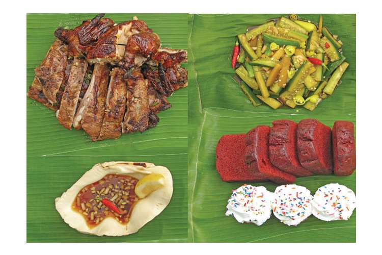
Coconut trees are aplenty on this island which remind tourists that we are in the tropics. Coconuts are sold at $5 each by street vendors if you are curious to try Guam coconuts. Umatac Bay is traditionally cited as the location of the Spanish landing.


Merizo village is on the southernmost part of Guam. Always known as a place for fishing, the village’s original name, Malesso’, derives from the Chamorro word lesso’, a juvenile stage in the growth of rabbit fish. During the weekends, it is popular among locals who come here to swim in the bar, stand up paddle board or have a barbecue while catching up with friends. There is also a pier that extends outwards towards the sea, a popular photo taking spot. In the background, it is Cocos island which is accessible by a daily ferry.

Further down the road stands the Merizo Belltower, or Kampanayun Malesso just across the main road from the Kombento, which dates to 1910 and the tenure of Father Cristobal de Canals. It was included in the National Register of Historic Places and restoration efforts took place in the early 1980s. Today, it is a restored version with its whitewashed surface. Most of the buildings around Merizo still retain their old-world charm.
For some hiking adventure, we chose to go to Tarzan Falls. This walk offers beautiful views of the river, waterfalls, and Guam’s tropical foliage. It also offers some lovely places to swim. Tarzan Falls is an extremely muddy hike, and is especially flooded (resulting in hikers walking waist-deep through thick red water) after a good rain, which is the best time to see the waterfalls. Make sure to wear tennis shoes and clothes you don’t mind getting very dirty.

It was supposed to be an easy 40 minutes walk to the hike, but there was a lack of signposts along the route. Ultimately, we ended at the pools and not the falls. Despite not reaching our destination, we still enjoyed the hike and also the dip in the refreshingly cold waters of the Tarzan pools. Along the way, we did not encounter anyone and cut through rolling foothills to the bottom of waterfalls.


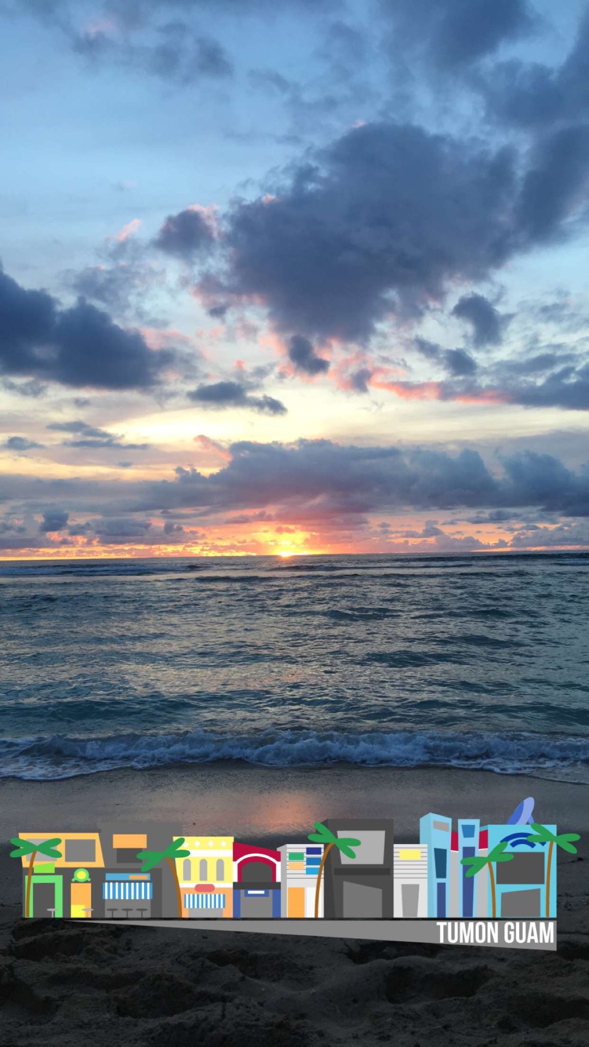
We were supposed to see the falls (below) but ended up hiking to the lower section of the falls which is the pools area, where the rush of water was calmer and we could take a dip or even sunbathe on the rocks. Each day after hiking or exploring, we would chase the sunset by the beach near our place. The sunsets never fail to captivate us, although on some days the sunset was disappointing because of the rain earlier in the afternoon and the clouds blocked the sunset after that. The one below was taken at Tumon Bay.


My favourite sunset of the trip has got to be this one below at Gun Beach. It was near to the start of our Red dress race and also we came here on our own on our last day, to soak in the sunset and ponder over fond memories of Guam. The sun changed from a fiery red to a purplish hue and was witnessed by several tourists on the beach. While waiting for the sun to set, I had actually snorkelled out to admire the abundant marine life. This place is popular for shipwreck dives because there was a sunken ship not too far out from the shore, where there is a sudden drop in the beach profile and remnants of the wartime ships lay close to the shore.
Gun Beach, a secluded cove at the far end of Tumon Bay, is considered by many locals to be one of the best shore snorkeling on Guam. It includes shallow areas protected by a coral quarry and reefs open onto the ocean, and you can explore a range of environments and varied marine life: a whole medley of fish, blue sea star, giant clams and, if you’re lucky, an encounter with a black tip shark, which pay regular visits to the site.
Lastly, we lit a sky lantern where we wrote our wishes on it. Then allowed the wind to carry the lantern of our wishes all the way into the sky. There is no written rule about releasing the lantern in Guam and since it was around the beach area, the lantern would not drift into people’s houses. Guam, you have been amazing to us during our 6 days stay and we thoroughly enjoyed our stay here.
Traveler tip: 1) Renting a car is important to get around Guam. 2) Bring along your swimwear and snorkel set as you may just chance upon a secluded beach or snorkelling area and get ready to go into the waters!